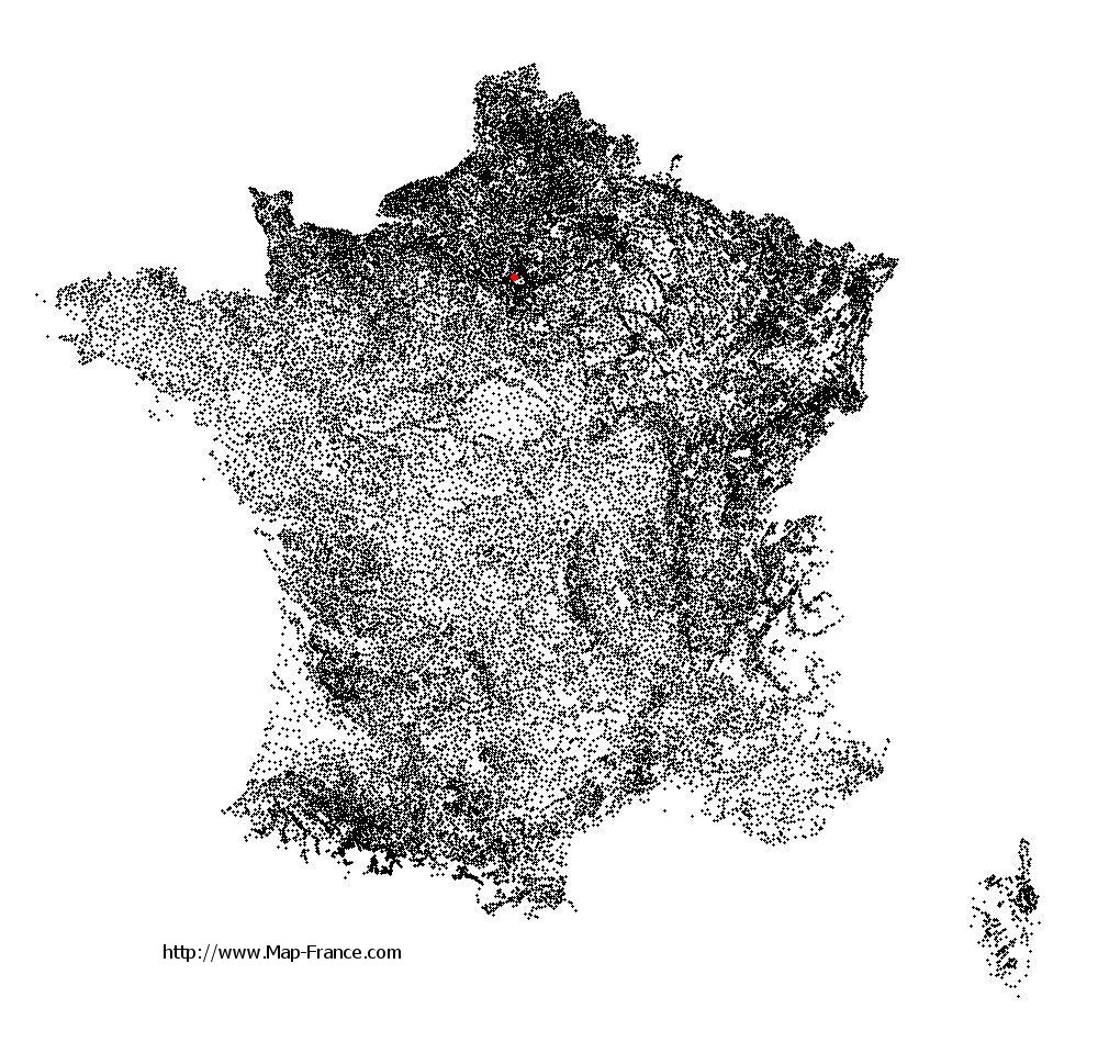
La Garenne-Colombes on the relief France map in Lambert 93 coordinates
|
See the map of La Garenne-Colombes in full screen (1000 x 949)
|
At left, here is the location of La Garenne-Colombes on the relief France map in Lambert 93 coordinates.
Here are the altitudes of La Garenne-Colombes :
- Town hall altitude of La Garenne-Colombes is 40 meters
- Minimum altitude of La Garenne-Colombes is 37 meters
- Maximum altitude of La Garenne-Colombes is 46 meters
- Medium altitude of La Garenne-Colombes is 42 meters
Here are the altitudes of Nanterre, prefecture of Hauts-de-Seine department:
- Town hall altitude of Nanterre is 42 meters
- Minimum altitude of Nanterre is 22 meters
- Maximum altitude of Nanterre is 127 meters
- Medium altitude of Nanterre is 75 meters
Here are the altitudes of the french biggest cities:
Paris : 33 meters
Marseille : 20 meters
Lyon : 237 meters
Toulouse : 146 meters
Nice : 10 meters
Nantes : 20 meters
Strasbourg : 144 meters
Montpellier : 35 meters
Bordeaux : 16 meters
Lille : 20 meters
Rennes : 35 meters
Reims : 83 meters
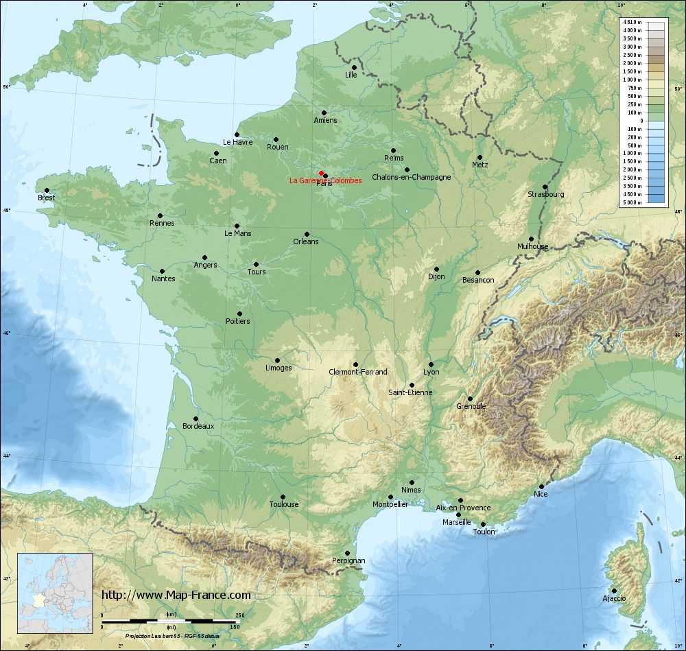
Click here for the terrain map of La Garenne-Colombes in full screen:
Relief map of La Garenne-Colombes
|
This relief map of La Garenne-Colombes is reusable and modifiable by making a link to this page of the Map-France.com website or by using the given code :
|
Terrain base map of La Garenne-Colombes
|

See the terrain base map of La Garenne-Colombes in full screen (1000 x 949)
|
Small relief base map of La Garenne-Colombes

|
This base map of La Garenne-Colombes is reusable and modifiable by making a link to this page of the Map-France.com website or by using the given code :
|
Map of La Garenne-Colombes with regions and prefectures
|
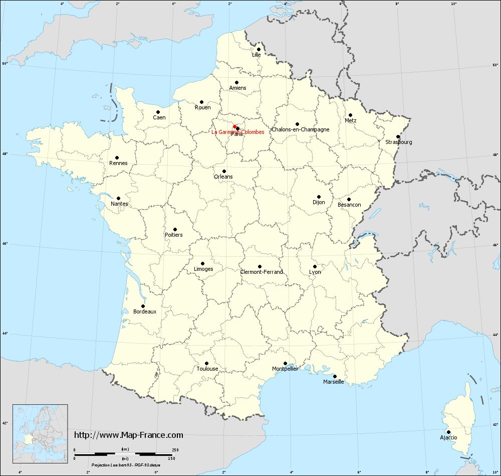
View the map of La Garenne-Colombes in full screen (1000 x 949)
|
You will find the location of La Garenne-Colombes on the map of France of regions in Lambert 93 coordinates. The city of La Garenne-Colombes is located in the department of Hauts-de-Seine of the french region Île-de-France.
Geographical sexagesimal coordinates / GPS (WGS84):
Latitude: 48° 54' 18'' North
Longitude: 02° 14' 37'' East
Geographical decimal coordinates :
Latitude: 48.909 degrees (48.909° North)
Longitude: 2.253 degrees (2.253° East)
Lambert 93 coordinates :
X: 6 446 hectometers
Y: 68 675 hectometers
Lambert 2 coordinates :
X: 5 932 hectometers
Y: 24 341 hectometers
Below, the geographical coordinates of Nanterre, prefecture of the Hauts-de-Seine department:
Geographical sexagesimal coordinates / GPS (WGS84):
Latitude: 48° 53' 26'' North
Longitude: 02° 12' 13'' East
Geographical decimal coordinates :
Latitude: 48.891 degrees (48.891° North)
Longitude: 2.209 degrees (2.209° East)
Lambert 93 coordinates :
X: 6 416 hectometers
Y: 68 659 hectometers
Lambert 2 coordinates :
X: 5 903 hectometers
Y: 24 325 hectometers
|
This map of La Garenne-Colombes is reusable and modifiable by making a link to this page of the Map-France.com website or by using the given code :
|
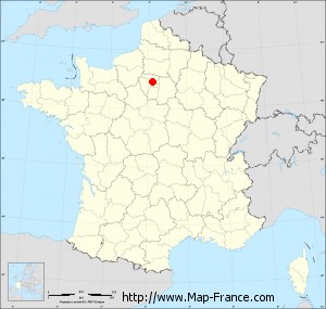
Map of La Garenne-Colombes with departments and prefectures
|
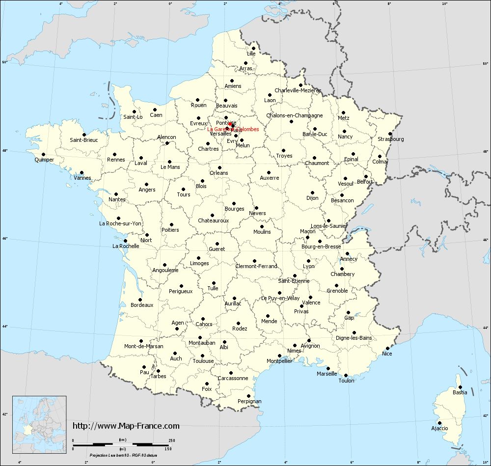
Voir la carte of La Garenne-Colombes en grand format (1000 x 949)
|
Here is the localization of La Garenne-Colombes on the France map of departments in Lambert 93 coordinates. The city of La Garenne-Colombes is shown on the map by a red point.
The city of La Garenne-Colombes is located in the department of Hauts-de-Seine of the french region Île-de-France.
The latitude of La Garenne-Colombes is 48.909 degrees North.
The longitude of La Garenne-Colombes is 2.253 degrees East.
Here the distance between La Garenne-Colombes and the biggest cities of France:
Distances are calculated as the crow flies (orthodromic distance)
Distance between La Garenne-Colombes and Paris : 8.66 kilometers
Distance between La Garenne-Colombes and Marseille : 668.79 kilometers
Distance between La Garenne-Colombes and Lyon : 400.23 kilometers
Distance between La Garenne-Colombes and Toulouse : 593.05 kilometers
Distance between La Garenne-Colombes and Nice : 693.91 kilometers
Distance between La Garenne-Colombes and Nantes : 339.24 kilometers
Distance between La Garenne-Colombes and Strasbourg : 404.71 kilometers
Distance between La Garenne-Colombes and Montpellier : 601.86 kilometers
Distance between La Garenne-Colombes and Bordeaux : 500.1 kilometers
Distance between La Garenne-Colombes and Lille : 199.29 kilometers
Distance between La Garenne-Colombes and Rennes : 302.82 kilometers
Distance between La Garenne-Colombes and Reims : 135.13 kilometers
Clic here to see the map of La Garenne-Colombes in full screen:
La Garenne-Colombes on the map of french departments
|
This administrative map of La Garenne-Colombes is reusable and modifiable by making a link to this page of the Map-France.com website or by using the given code :
|
Administrative base maps of La Garenne-Colombes
|

See the administrative base map of La Garenne-Colombes in full screen (1000 x 949)
|
Small administrative base map of La Garenne-Colombes
|
This base map administrative of La Garenne-Colombes is reusable and modifiable by making a link to this page of the Map-France.com website or by using the given code :
|
 French Version : http://www.cartesfrance.fr